How It Works
Upload your data and let CMLO do the rest.
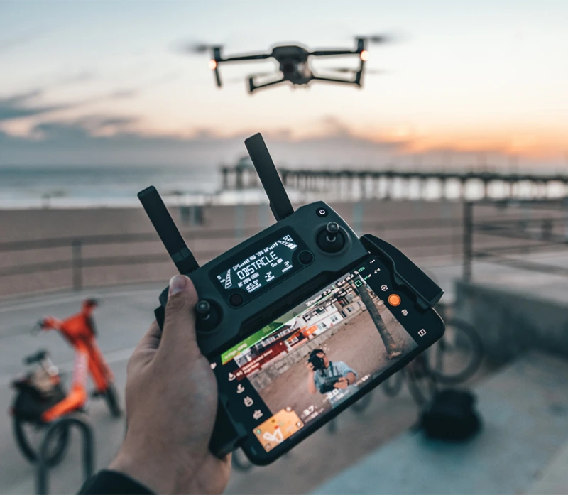
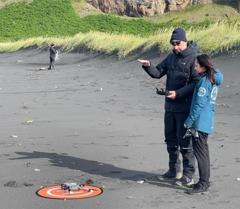
Data collection options
Accuracy you can
trust
Reliable detection and mapping across diverse coastal environments.
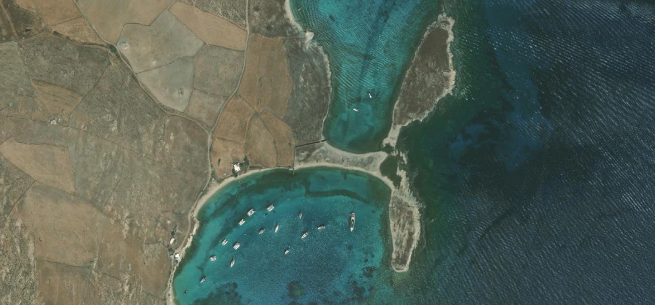
Before
- Scattered data
- Manual analysis
- Limited coverage
- No standardization
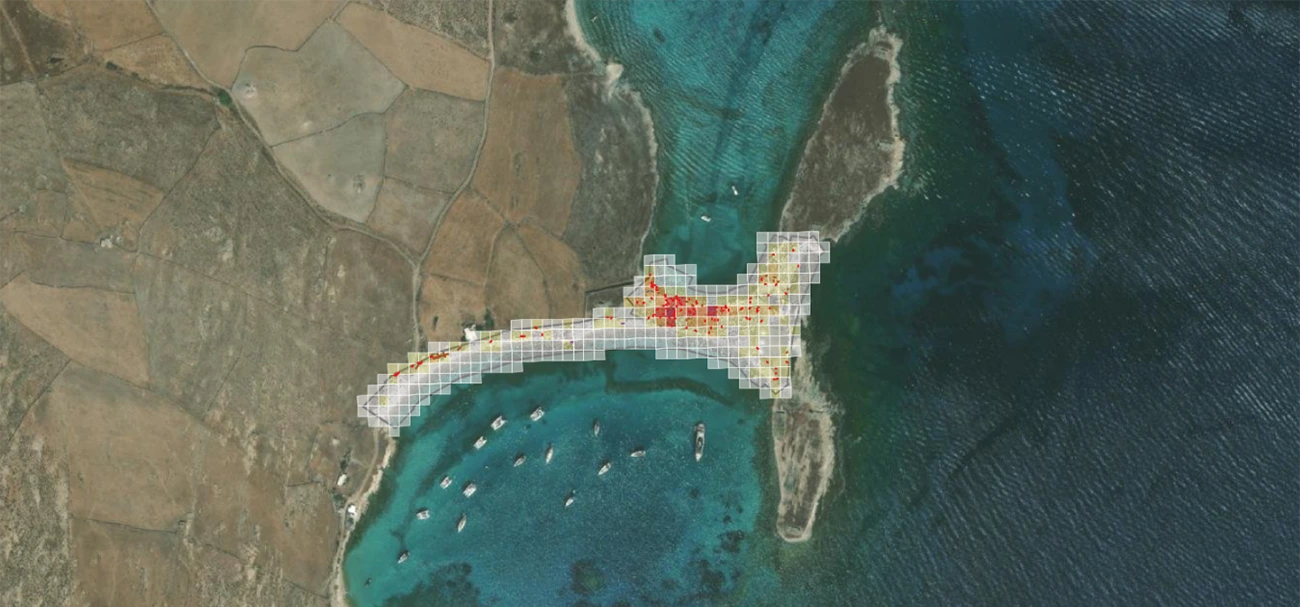
- Structured datasets
- Automated AI detection
- Scalable monitoring
- Ready-to-use insights


Start Monitoring Smarter
Turn your coastline data into actionable intelligence today.
- No setup required
- Works with your existing drone